Not your father’s hurricane in the age of global warming
Wind speeds in Hurricane Ian accelerated 35 MPH in three hours as the storm churned over the Gulf of Mexico, slamming into the west coast of Florida as an historic Cat 4 monster. This used to be a rare phenomenon, but now it is becoming more common as record surface water temperatures are driving new behavior in tropical storms. It’s one of two emerging attributes of tropical storms that you should know about: rapid intensification and diminished vertical mixing..
RAPID INTENSIFICATION
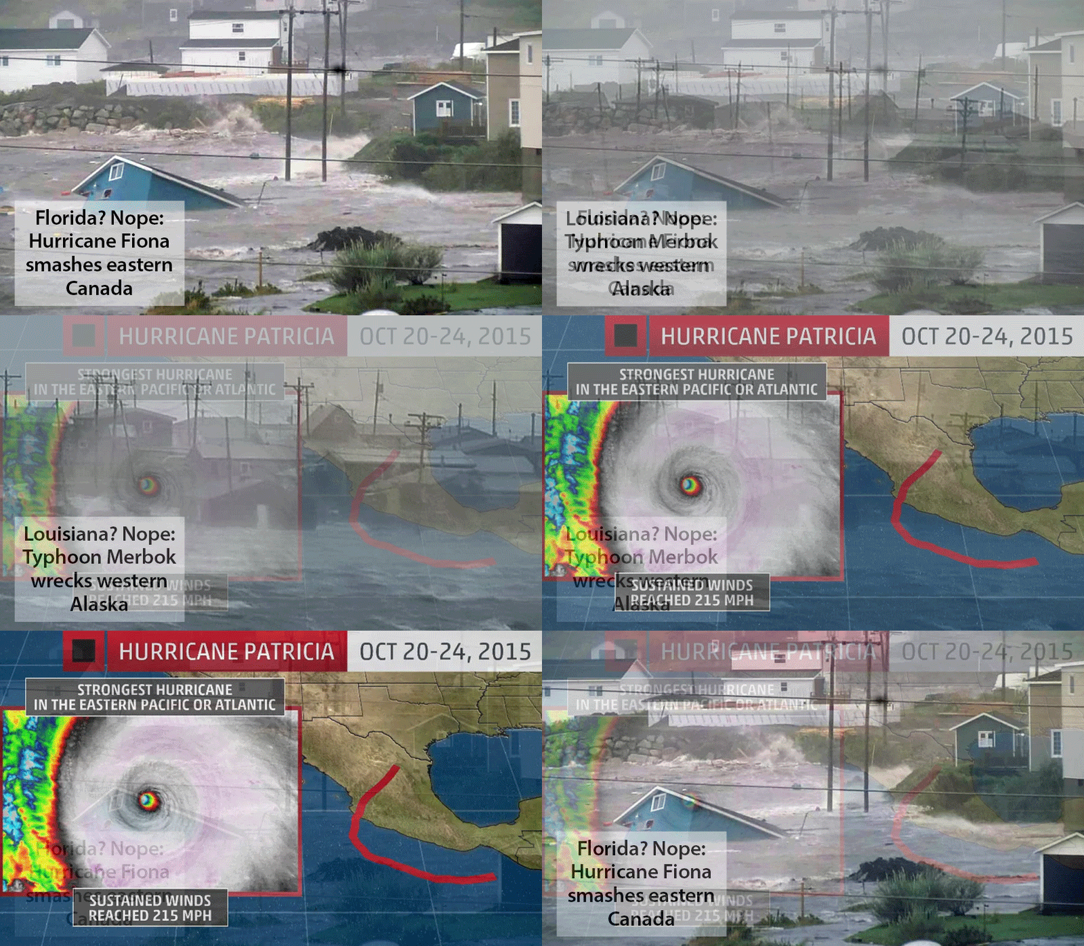
While Ian will continue to get most of the attention, other recent storms have earned headlines in their own right. For example, the tail end of Typhoon Merbok did major damage in Western Alaska as warm seas sustained the storm into Arctic waters. Winds exceeded 90 plus MPH and waves overtopped 50 feet as the western part of the state was declared a disaster area. Remember Merbok? It was two weeks ago.
HURRICANE FIONA IN CANADA Meanwhile, the most recent storm to devastate Puerto Rico continued on its way and finally smashed into the Canadian Maritimes on the coast of Nova Scotia. The depleted storm nevertheless knocked out power to half a million with winds up to 110 MPH, along with flooding and extensive property damage. Hurricane Fiona went through several rapid intensification stages as it slogged its way north, killing hundreds and causing $93 billion in damage.

Hurricane Patricia (2015) on the West Coast of Mexico was remarkable because it marked blunt acknowledgement that meteorologists had been stunned by a weather system that transformed into a monster overnight. Scientists had never seen anything like it. This storm was sparsely reported because it hit the lightly populated west coast of Mexico; nevertheless it packed record breaking 215 MPH winds and remains the most powerful storm ever recorded in the Western Hemisphere.
Even more dramatic, however, was the rapid intensification of this storm: Patricia’s winds ramped up by 120 MPH in 24 hours, from 85 MPH at 1:00 AM Oct 22, 205 to 205 MPH at 1:00 AM Oct 23.
There will be more Patricia’s as the oceans continue to warm.
DIMINISHED VERTICAL MIXING keeps the storm going
This benign sounding process magnifies and prolongs hurricane strength. In a typical tropical storm, overall system energy is reduced by a feedback in which the churning of the warm surface waters circulates with cooler layers beneath it (thermocline) as the storm progresses, lowering the overall temperature, and the amount of energy available to the system. However, as the ocean continues to warm, the depth (thickness) of warm surface layers tends to increase and the cooler waters of the thermocline are further down. As a result, the overall energy transferred to the atmosphere rises.
The overall power of the storm is sustained or even amplified.
The hurricane will be more dangerous and stick around longer.
You most likely missed these…
Drought Lowers Mississippi
Drought in the Arkansas Delta is impacting agriculture as the Big Muddy becomes more muddy and barges are unable to pas due to historically low water levels. The river joins dozens more waterways around the planet that are running dry.
Record Nigeria Floods
A severe cholera outbreak is the latest catastrophe related to catastrophic flooding that has laid waste to large sections of Nigeria. More than 300 people have lost died and thousands are displaced as more rains are expected.
Zombie Fires In Permafrost
Zombie fires in Siberia, Scandinavia, Alaska threaten megafire outbreaks in 2023. In this rapidly heating region, exponential increases in intense lightning storms and flammable grasses suddenly growing on thawing tundra are driving record wildfires.